

An Ancient Circle Has Been Discovered Beneath Machrie Moor on Arran
Visitors have been walking between two of Machrie Moor’s stone circles for years. Their footsteps had begun to wear a faint track through the peat.
When archaeologists surveyed that route to find out whether anything beneath it needed protecting, they discovered something no one expected: evidence of an entire prehistoric circle hidden underground.
Historic Environment Scotland announced the discovery in June 2026. The monument, now known as Machrie 12, cannot be seen from the path. Its outline only appeared after archaeologists processed the results of a magnetic survey.
At approximately 28 metres by 25 metres, it may be the largest circle yet identified at Machrie Moor.
And the archaeologists had not set out to find it.
The discovery began with a shortcut
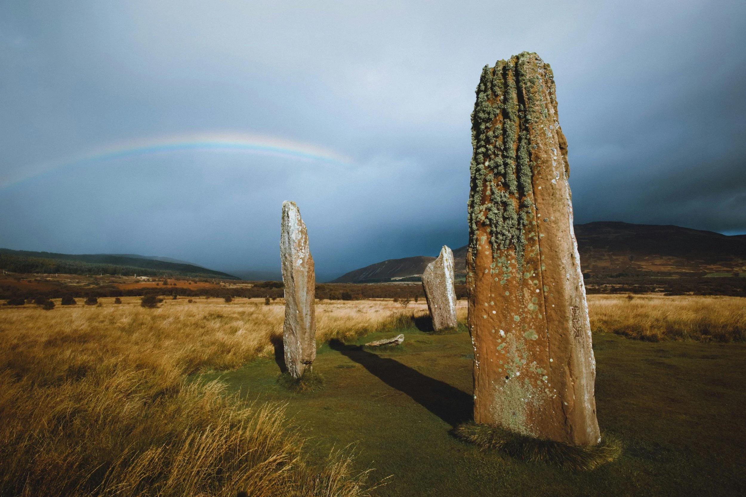
Machrie Moor lies on the west coast of the Isle of Arran, surrounded by hills and open moorland. Six stone circles were already known here, alongside standing stones, burial cairns, hut circles and traces of ancient fields.
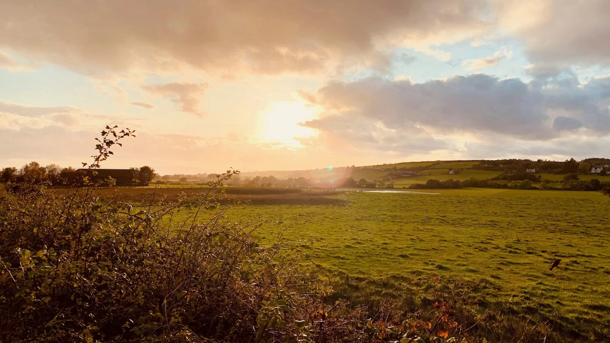
Between two of the most striking monuments—Circles 2 and 3—visitors had created what archaeologists call a “desire line”: an informal path made by people taking the most direct route across the peat.
Historic Environment Scotland wanted to know whether the erosion was threatening any buried archaeology. The team also saw an opportunity to test how well different surveying techniques would work in peat, where geophysical surveys have traditionally been difficult.
They used a method called gradiometry. Rather than digging into the ground, the equipment measures tiny changes in the Earth’s magnetic field. Those changes can reveal places where soil was disturbed in the past, even when there is nothing unusual to see on the surface.
The results were not visible while the team crossed the moor. The data had to be downloaded, processed and interpreted later. Only then did the pattern appear.
What did the survey find?
The survey revealed 12 circular, pit-like marks arranged in a slightly oval ring. The spacing leaves two wider gaps, suggesting that there may once have been two additional settings.
There are no stones in the pits today. The circle may have been formed from timber posts, or from standing stones that were removed long ago. Several of Machrie Moor’s visible stone circles were built directly over earlier timber circles, so either possibility would fit what archaeologists already know about the site.
For now, there are still more questions than answers.
Machrie 12 has not been excavated, so its exact age and purpose remain unknown. Archaeologists think it probably belongs to the same broad prehistoric period as the surrounding monuments, which date from roughly 3500 to 1500 BC. It may have been used for gatherings, ceremonies or rituals, and perhaps for burials later in its history—but further research is needed before anyone can say for certain.
That uncertainty is part of what makes the discovery so fascinating. The trace of an entire monument had survived beneath a route used by modern visitors, leaving no obvious sign above ground.
A landscape shaped over thousands of years
Machrie Moor was never simply an empty ceremonial site.
Evidence suggests that people were changing this landscape as far back as about 7800 BC, when hunter-gatherers used controlled burning to clear parts of the woodland. By the Neolithic period, communities were growing crops, keeping livestock and organising the surrounding land into fields.
The earliest known ritual activity followed. Pits were dug, timber circles were raised and, around 2000 BC, the great stone circles appeared. Later generations returned to some of the monuments to bury their dead.
The stones visible today are therefore only one chapter in a much longer story. People lived, worked, gathered and remembered their dead here across many generations. As soils deteriorated and peat spread over the moor, some of that history slowly disappeared beneath the surface—and was preserved there.
Why did people build circles here?
No one can tell us exactly what Machrie Moor meant to the people who built its monuments, but the setting offers a few clues.
The circles sit inside a natural bowl. Approaching from the west, they remain hidden until the ground begins to rise and the monuments reveal themselves. Even now, there is a distinct sense of arrival.
Several of the known circles were also positioned so that the midsummer sun would rise in a prominent notch at the head of Machrie Glen. Archaeologists do not generally believe Machrie Moor was used for precise astronomical observation. It is possible, however, that people gathered here for ceremonies or celebrations around midsummer.
What we can say is that communities returned to this particular place for thousands of years. Whatever happened here mattered enough for people to rebuild monuments, replace timber with stone and continue using the landscape long after its first circles were created.
Can you see the newly discovered circle?
Not in the way you can see the standing stones nearby.
Machrie 12 remains beneath the peat between Circles 2 and 3. There are no newly exposed stones and, at present, no excavation for visitors to view.
That should not put you off visiting. Machrie Moor is one of Scotland’s most atmospheric prehistoric landscapes. Circle 2 alone is unforgettable: three slender red sandstone pillars, the tallest reaching around 5.5 metres, stand against the Arran hills. Elsewhere, low granite rings, cairns and traces of former homes reveal how varied the site really is.
As guides, this is the sort of discovery we love. It does not add a new set of stones to photograph; it changes how you look at the ground between the ones already there.
Knowing that another monument lies unseen between them changes the experience. The open ground is no longer just the space between the stones. It may be covering parts of the story that have not yet been found.
Planning a visit to Machrie Moor
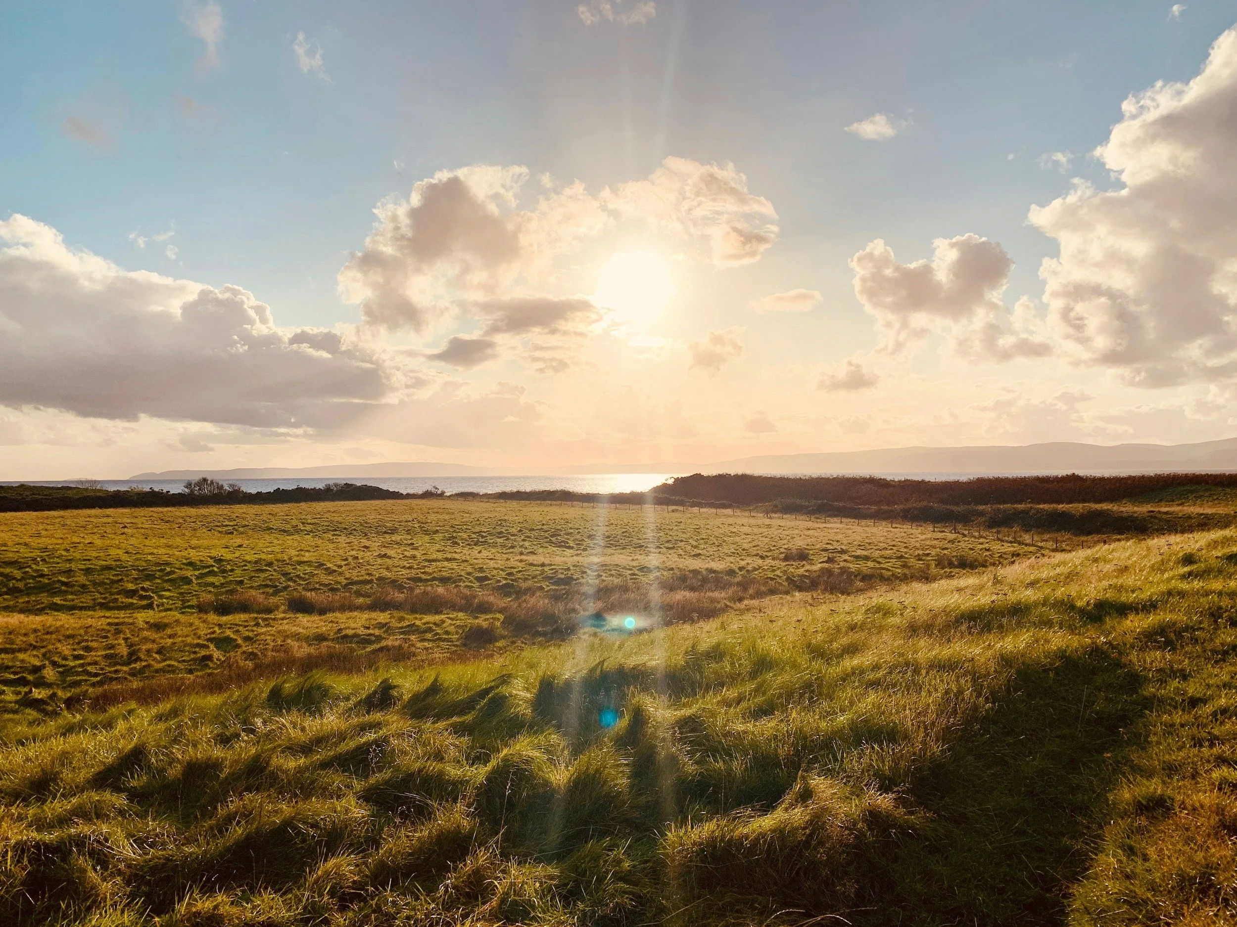
Machrie Moor Standing Stones are on the west side of Arran, approximately three miles north of Blackwaterfoot.
Admission: Free
Opening: Open throughout the year
Walking: The usual out-and-back route is approximately 4.25 kilometres and takes around 1 to 1.5 hours, although it is worth allowing longer to explore the monuments properly
Terrain: Farm tracks and grassy paths; strong, waterproof footwear is sensible
Protecting the site: Follow the established paths and avoid cutting across the peat. The survey began because informal footpaths were wearing away the ground above potentially fragile archaeology.
You can check the latest access information on the Historic Environment Scotland visitor page and find a detailed route description on Walkhighlands.
Discover the Isle of Arran with Scotland’s Wild
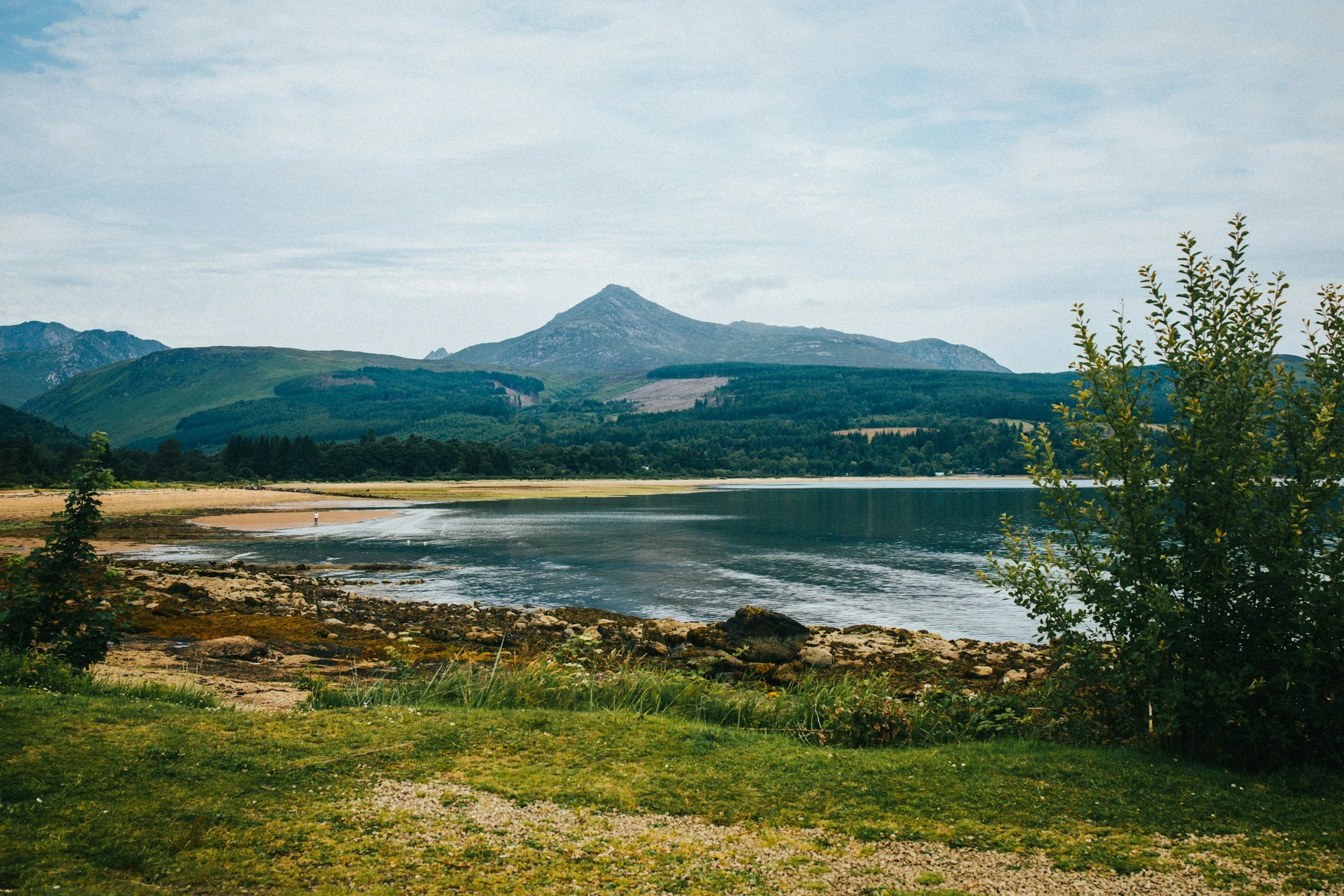
Machrie Moor is only one part of Arran’s story. In a single trip, you can walk beneath the mountains of the north, explore the grounds of Brodick Castle, follow quiet coastal roads, look for wildlife and discover thousands of years of human history.
It is one of the reasons Arran is often described as “Scotland in miniature”. The island brings together so much of what people travel here to experience, all within a remarkably compact landscape.
Read more about the Isle of Arran, or speak to our team about a private, personalised tour of Scotland. We can create an Arran itinerary around the places and stories that interest you most, while taking care of the route and the practical details.
The discovery of Machrie 12 is a wonderful reminder that Scotland’s history is not finished. Even in places people have explored for generations, the landscape can still hold an extraordinary secret just beneath their feet.