
Map of Scotland: Interactive Travel Map and Places to Visit
Scotland is the northern third of the island of Great Britain, with England to the south, the Atlantic to the west and the North Sea to the east. Use our interactive map to see where the famous places are, how our tours link them together, and which part of the country suits the trip you have in mind.
Edinburgh (the capital) and Glasgow (the biggest city) sit in the Central Belt in the south. North and west of them are the Highlands, with Loch Lomond, Glencoe, Fort William, Loch Ness and Inverness. Off the west coast are the Inner Hebrides, including Skye and Mull, with the Outer Hebrides further out in the Atlantic. Orkney and Shetland lie off the far north coast.
- CapitalEdinburghLargest city: Glasgow
- PopulationAbout 5.4 millionScotland's Census 2022
- SizeAbout 30,000 sq milesAround 78,000 km², a third of Great Britain
- IslandsAround 800About 100 have people living on them
- Highest mountainBen Nevis, 1,345 mNear Fort William
- Edinburgh to InvernessAbout 3½ hoursBy road, without stops
How to use our interactive map of Scotland
Our map is built for trip planning. Press play, then open the map menu. From there you can switch on the route of each of our tours, see sample private itineraries, and show places by interest, such as castles, islands, wildlife spots and filming locations. We'd suggest keeping the "Start here" layer on and adding one route or interest at a time, so the map stays easy to read.
On a phone, the map is easiest to use full screen. Use the "Open the map full screen" link under the map.
Scotland's regions explained
Scotland is bigger than it looks, and the roads in the Highlands and islands are slower than you'd expect. It helps to think of the country in regions, then pick one or two for your trip.
Edinburgh, the Lothians and the Borders
Scotland's capital sits on the east coast, on the Firth of Forth. It's a compact city of castles, closes and hills, and it's where most of our tours start. East Lothian's coast and castles are less than an hour away, and the Borders stretch south towards England. Our Edinburgh guide covers the city, and our puffin tour and Alnwick Castle tour head east and south from it.
Glasgow and Loch Lomond
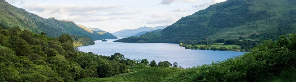
Glasgow, Scotland's biggest city, is about an hour and a quarter west of Edinburgh. Loch Lomond, the southern gateway to the Highlands, is less than an hour north of it. See our Glasgow guide and Loch Lomond and the Trossachs.
Stirling, Fife and St Andrews
Between the two cities, Stirling Castle and the Wallace Monument sit on the old route north. Across the Forth, Fife has fishing villages, Outlander filming locations and the university town of St Andrews, the home of golf. Our St Andrews day trip and Stirling Castle tour both leave from Edinburgh.
The Scottish Highlands: Glencoe, Loch Ness and Inverness
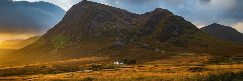
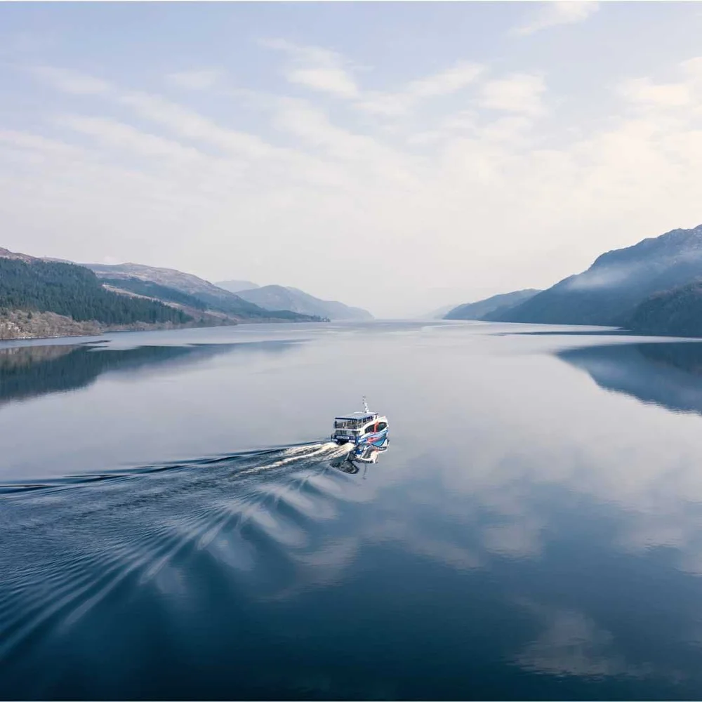
The Highlands cover most of the north and west. Head north-west from Glasgow and you pass Loch Lomond, cross Rannoch Moor and drop into Glencoe, then reach Fort William under Ben Nevis. From there the Great Glen runs north-east past Loch Ness to Inverness, the capital of the Highlands. Our Glencoe guide and Inverness guide have more, and our Loch Ness day trip from Edinburgh covers much of this in one day.
Argyll, Oban and the west coast
South-west of the Highlands, Argyll has sea lochs, castles and Kilmartin Glen's standing stones. Oban is the ferry port for Mull, Iona and many other islands. Our Oban day trip and standing stones and castles tour both leave from Glasgow.
The Isle of Skye
Skye is the best known of the Inner Hebrides, linked to the mainland by the Skye Bridge near Eilean Donan Castle. It's about two and a half hours from Inverness and five and a half from Edinburgh by road. See our Isle of Skye guide and all our Isle of Skye tours.
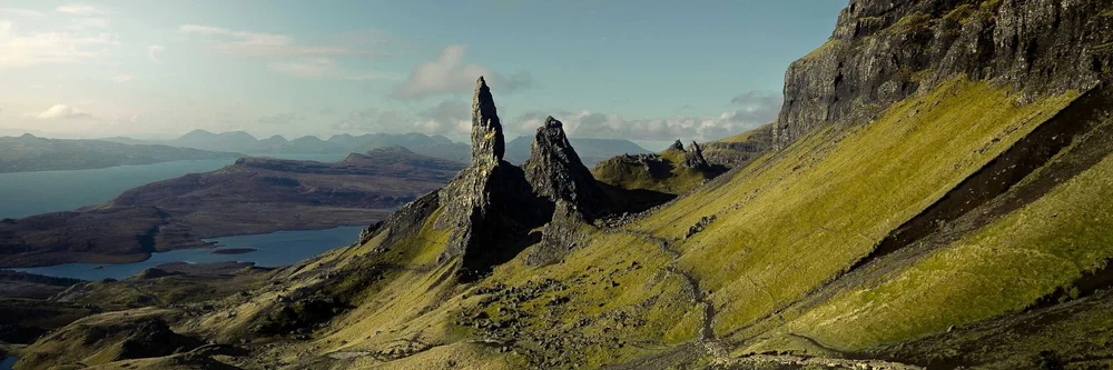
The Outer Hebrides
Lewis and Harris, the Uists and Barra form a chain of islands out in the Atlantic, reached by ferry from Ullapool, Skye or Oban. Expect white beaches, standing stones and Gaelic culture. Our Hebrides guide and 5-day Outer Hebrides tour are good places to start.
Orkney and the north coast
The far north has the wild coast of Caithness and Sutherland (much of it on the North Coast 500 route), with Orkney a short ferry crossing away. Orkney is home to Skara Brae and the Ring of Brodgar. See our Orkney guide and 5-day Orkney tour from Edinburgh.
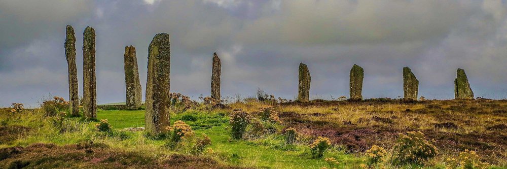
The Cairngorms, Speyside and the north-east
East of the Highland spine are the Cairngorms National Park, Speyside's whisky distilleries and Aberdeenshire's castles, including Balmoral and Dunnottar. Our Cairngorms guide has more.
How far apart are places in Scotland?
Distances look short on a map of Scotland, but Highland roads are slow and often single-track. These are rough driving times without stops. Check a route planner for your dates, and allow extra time for photos, fuel and weather.
| Journey | Rough driving time |
|---|---|
| Edinburgh to Glasgow | About 1 hour 15 minutes |
| Edinburgh to Stirling | About 1 hour |
| Edinburgh to St Andrews | About 1 hour 30 minutes |
| Glasgow to Glencoe | About 2 hours |
| Glasgow to Oban | About 2 hours 30 minutes |
| Edinburgh to Inverness | About 3 hours 30 minutes |
| Inverness to Portree (Skye) | About 2 hours 30 minutes |
| Edinburgh to Portree (Skye) | About 5 hours 30 minutes |
| Inverness to Ullapool (ferry to Lewis) | About 1 hour 15 minutes |
If you'd rather not do the driving, our guide on whether to drive or take a tour weighs up both.
Our most popular routes on the map
Every group tour on the map is a small-group trip with an expert guide and no more than 16 travellers. These are good places to start.
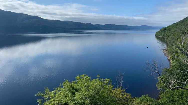 Loch Ness Day Trip from EdinburghThe Highlands, Fort Augustus on Loch Ness, Glencoe and Loch Lomond in one guided day.From £96 pp50% depositView tour →
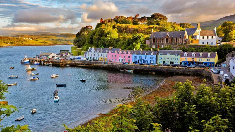 Isle of Skye 3-Day Tour from EdinburghTwo nights on Skye via Glencoe and Loch Ness: the Old Man of Storr, Fairy Glen and Eilean Donan.From £248 pp25% depositView tour →
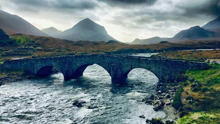 Isle of Skye 5-Day TourKilmartin, Oban, Glencoe, two nights on the Isle of Skye, Loch Ness and Inverness.From £396 pp25% depositView tour →
From Edinburgh: see all our day trips from Edinburgh and multi-day tours from Edinburgh.
From Glasgow: day trips from Glasgow and multi-day tours from Glasgow. From Inverness: tours from Inverness to Orkney and the Outer Hebrides.
Or browse all our Highland tours. If you'd like your own route, our sample private itineraries are on the map too, and you can plan one with us on our private tours page. Accommodation isn't included in our multi-day tour prices.
Scotland map questions
Where is Scotland?
Scotland is in the north of the United Kingdom. It covers the northern third of the island of Great Britain, with England to the south, the Atlantic Ocean to the west and north, and the North Sea to the east.
Is Scotland a country?
Yes. Scotland is one of the four countries of the United Kingdom, along with England, Wales and Northern Ireland. It has its own parliament, legal system and banknotes.
How big is Scotland?
Scotland covers about 30,000 square miles (around 78,000 km²), a little smaller than South Carolina. It has around 800 islands and about 5.4 million people.
Where are the Scottish Highlands on a map?
The Highlands cover most of the north and west of Scotland, north of a line running roughly from Loch Lomond to Stonehaven. Glencoe, Fort William, Loch Ness, Inverness and Skye are all in the Highlands.
How long does it take to drive across Scotland?
Edinburgh to Inverness takes about 3½ hours, and Edinburgh to the Isle of Skye about 5½ hours, without stops. Highland roads are slower than they look, so plan fewer, longer stays rather than a long list of places.
Is there a printable map of Scotland?
Our interactive map is best used on screen. For a paper map, Ordnance Survey publishes detailed road and walking maps of every part of Scotland.
Keep planning
Sources we checked
- Scotland's Census 2022 (population)
- VisitScotland: places to go
Last updated September 2026 by the Scotland's Wild team.